
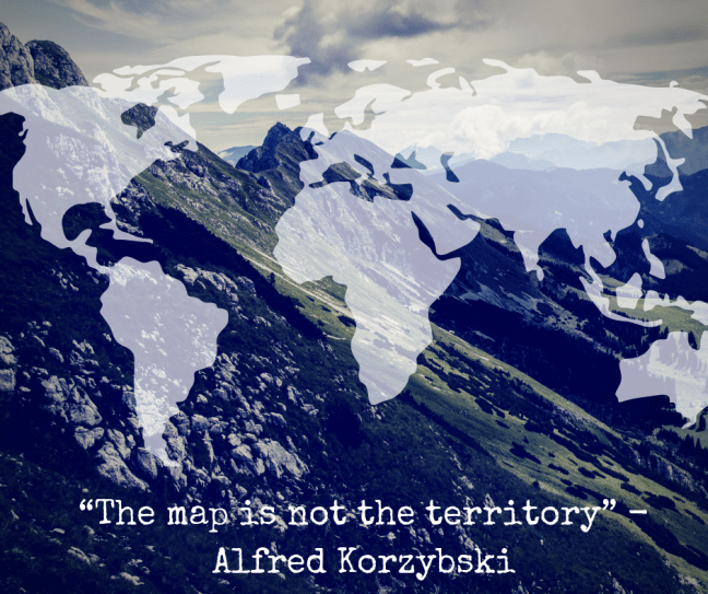
“The map is not the territory.” – Alfred Korzybski
This quote embodies so much of humans’ desire to understand the true nature of the world around them, as well as their own existence, but also how hard, if not nearly impossible, that undertaking really is. This post builds on that quote quite literally, but also metaphorically. We will explore how the map is the cartography on paper, as well as the construction of our own perceptions. In addition to exploring the territory, or what we try to map to, as well as the reality of being.
Note: I often use territory and terrain interchangeably throughout this post. Either term works, but I find they fit different scenarios better.
Dynamic Territories – The territory changes over time. We have trouble comprehending this because we like things to remain unchanged. This is due to our brains preference to understand it’s environment. We like patterns and we like symmetry. Anything we encounter that disrupts these already formed patterns or symmetries causes us to have a conflict of beliefs (cognitive dissonance) which causes stress and induces additional mental effort. Since we have evolved to conserve energy whenever possible, this mental effort is not appreciated. We prefer things to remain unchanged and static, but we live in a dynamic world. We cannot easily control other parts of the system we find ourselves in, and we can’t control the environment in which system operates in. We can see this transpire when terrain changes over time: rivers move, coastlines change, volcanoes create new islands, etc. From the get go, the map is only at its best on the exact moment it was created. With each new day, it becomes less accurate and even less relevant. The map erodes faster than the terrain.
Resolution & “Failing at Scaling”– There must be a decision made in determining the “right” size of the map. This is almost an entirely impossible task as it is heavily dependent on variable requirements that can change over time. Resolution is often heavily distorted when we try to “zoom in” as we encounter problems with pixelation. Maps also have a difficult time scaling when we want to “zoom out” as we encounter problems with visual perception and losing focus peripherally. In both cases, we lose important insights into valuable details.
Dormant/Active Features – Features have states of being. This concept is indirectly related to the dynamics of the terrain, but differs in the sense that nothing really changed except the state of the feature. Active and dormant features can be thought of as having an on/off switch. The feature has always been present, but depending on its state was either “felt” or “not felt” at the time of the mapping. It’s important to understand these features because they are likely to be the root cause of certain changes to the terrain, but might be overlooked because they were previously thought as understood. A dormant feature that becomes active can lead to a change in the terrain just like an active feature that goes dormant can also lead to a change. The important thing to note is that it was a change to the state of the feature that caused the change and any secondary effects. The feature’s state switch being the root cause of change and secondary effects showing up as symptoms.
Depth Deception –
Maps are a 2-D representations of 3-D terrain. Fully comprehending a 3-D structure such as a mountain is very hard to do on a sheet of paper. This results in an oversimplification of the terrain. It doesn’t allow you to adequately comprehend what the terrain looks like and we are deceived into believing the simpler form. There are some terrains that are so complex, that reducing them to a simpler form amplifies the amount of risk, causing the map to become even more hazardous than it already inherently is. The depths of the terrain are the layers of complexity and the map performs the deception.
Territory Perception – The map is only a representation of the perceived territory, but even the territory is only a representation of perceivable reality. This is to say that even if we could fully see the territory, we still wouldn’t know the true reality of the territory because we lack the ability to comprehend all aspects of the territory. We can only see a specific range of the light spectrum, so we miss out on how that affects the territory. We can’t see the atomic structure of all objects and we struggle to understand how the territory interacts with its environment. We are still trying to unravel the perplexity of quantum mechanics. Therefore, we are mapping to a territory that we don’t even know the true nature of to begin with.
These are but a few problems encountered while trying to map a territory. There’s a diminishing useful life, an inability to properly zoom in or out, a misunderstanding of features’ hot-cold gap, a deception by lack of depth, and an insurmountable undertaking to begin with. This is not to say, stop using maps, but to compel you to understand the limitations of those maps and to offer you an alternative approach. To keep you open-minded to the idea of constantly updating your maps and looking to solve for some of the problems associated with mapping. Our minds are wired to map our perception of reality, so that we can function in a manner that seems appropriate. We cannot just simply stop mapping, it is essential for our being. So, similar to what Winston Churchill said, “Plans are of little importance, but planning is essential”, likewise, “Maps are of little importance, but mapping is essential.” The better you become at mapping, the more likely you will be prepared for life. Understand the risks of maps, and coordinate your mapping efforts in a way that properly account for these risks.
I believe there is more to understanding “the map is not the territory” and will update this post as I come to find it.
